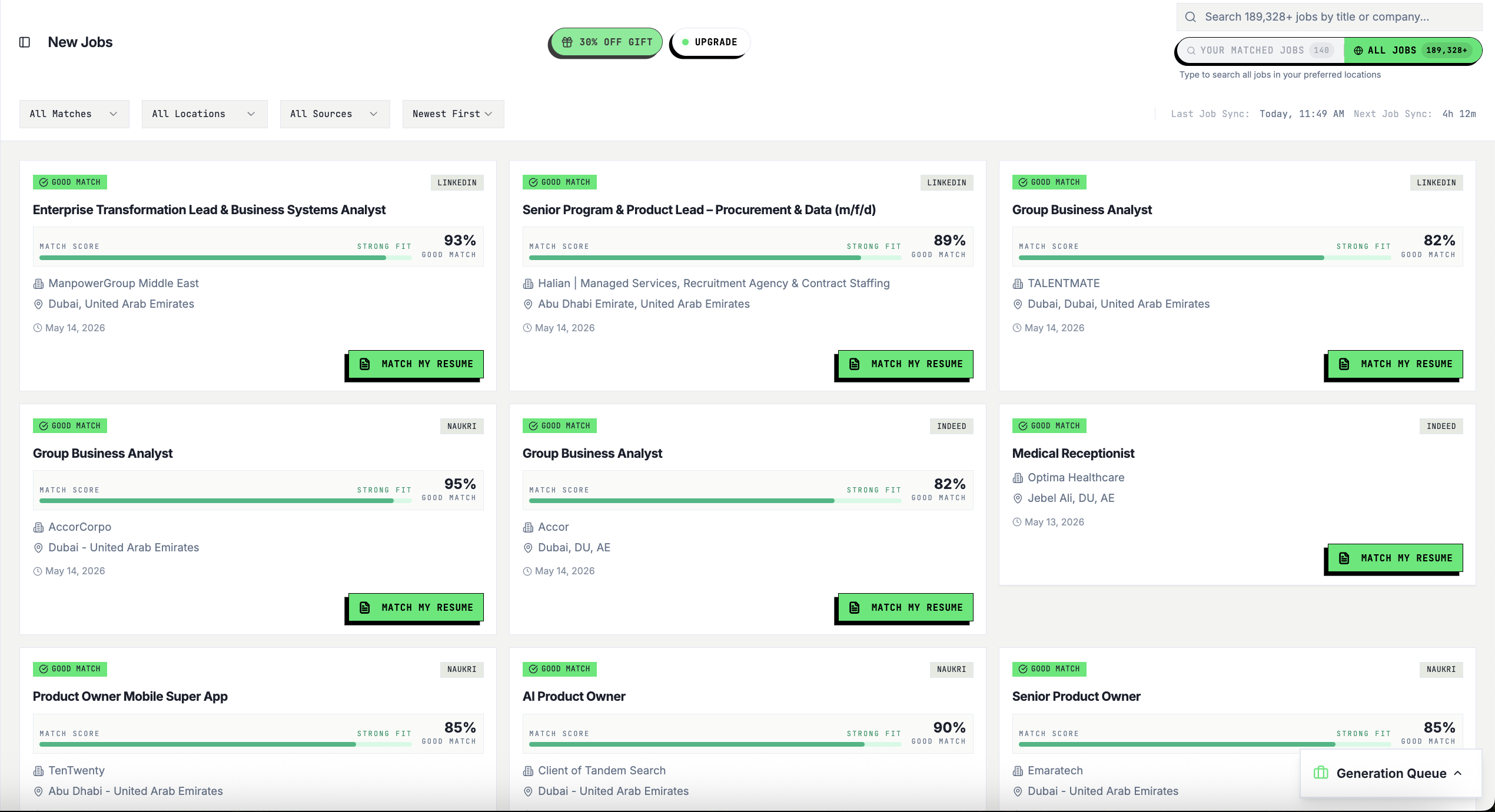
Geographic Information Systems Analyst ( Saudi National)
Skills
About This Role
Overview
Note: We are only considering Saudi Nationals for this role.
Arabic candidates from other countries will not be considered applicable.
Key Responsibilities
Collect, analyze, and interpret geographic and spatial data from various sources.
Develop and maintain GIS databases, maps, and dashboards.
Perform spatial analysis and produce reports to support projects and planning.
Ensure data accuracy, integrity, and proper documentation.
Collaborate with cross-functional teams to provide geospatial insights.
Utilize GIS software (e.g., ArcGIS, QGIS) to create maps and models.
Support field data collection and integration into GIS systems.
Stay updated with the latest GIS technologies and best practices.
Qualifications
Bachelor’s degree in Geographic Information Systems, Geography, Computer Science, Engineering, or a related field.
Experience
Minimum of 5 years of relevant experience in GIS or geospatial analysis.
Skills
& Competencies: Proficiency in GIS tools such as ArcGIS, QGIS, or similar platforms.
Strong analytical and problem-solving skills.
Experience
with spatial data management and geodatabases.
Familiarity with remote sensing and data visualization tools is a plus.Good communication skills and ability to present data effectively.
Pay: ﷼12,000.00 per month
Education
- Bachelor's (Required)
Experience
- GIS or geospatial analysis: 5 years (Required)
Your resume, rewritten
for this exact role.
Sign up free — Base Career tailors your CV to this job description in 60 seconds.
01 / 05
Resume Tailored to This Job
Your keywords, structure, and story — rewritten to match this exact role and pass ATS filters.
Free · No card · 60 seconds
02 / 05
Cover Letter for This Role, Done
Job-specific cover letters written in Gulf professional tone — ready in seconds, not hours.
Free · No card · 60 seconds
03 / 05
See How Well You Fit This Role
AI match score with clear reasons — know your fit before investing time in the application.
Free · No card · 60 seconds
04 / 05
Apply in One Click
Autofill any application form on Workday, LinkedIn, Bayt, Greenhouse — with your tailored content.
Free · No card · 60 seconds
05 / 05
Track It. Follow Up at the Right Time.
Visual pipeline for every application with AI-timed follow-up reminders so nothing slips.
Free · No card · 60 seconds
Similar Jobs
Geographic Information Systems Engineer
CANDIDZONE · Doha
Senior GIS Engineer 8–10+ years of GIS experience on large infrastructure/municipal projects (Ashghal Strong expertise in ArcGIS (Pro, Enterprise, Online) and geospatial database management (Oracle/SQL) Experience in
Skills
1 weeks ago
Apply Now↗Apply Now ↗Geomatics/geographic Information Systems Analyst
Saudi Aramco (ASC) · Saudi Arabia
The role involves advanced geospatial analysis, data integration, and AI application for land governance, requiring expertise in Geomatics and spatial data management.
Skills
4 weeks ago
Apply Now↗Apply Now ↗2.2K+
Cover Letters & Follow-ups
1.8K+
Resumes Tailored
190.5K+
Jobs Tracked
Trusted by professionals at
Stop applying blindly.
Start getting hired.
Base Career automates the hardest parts of job searching — apply smarter, not harder.
AI Resume in 60s
Your resume rewritten for this exact role using the job description as the brief.
ATS-Optimized
Get past automated screening filters with the right keywords matched to each job.
Application Tracker
Track every job, follow-up, and interview in one visual kanban board.
Free plan · No credit card required